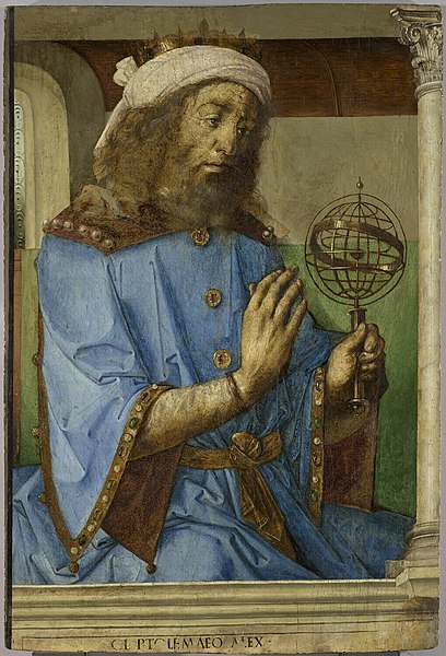
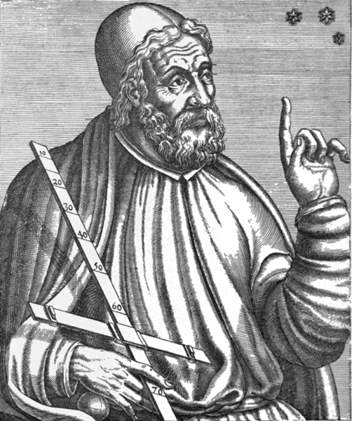
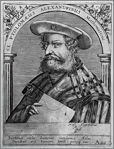
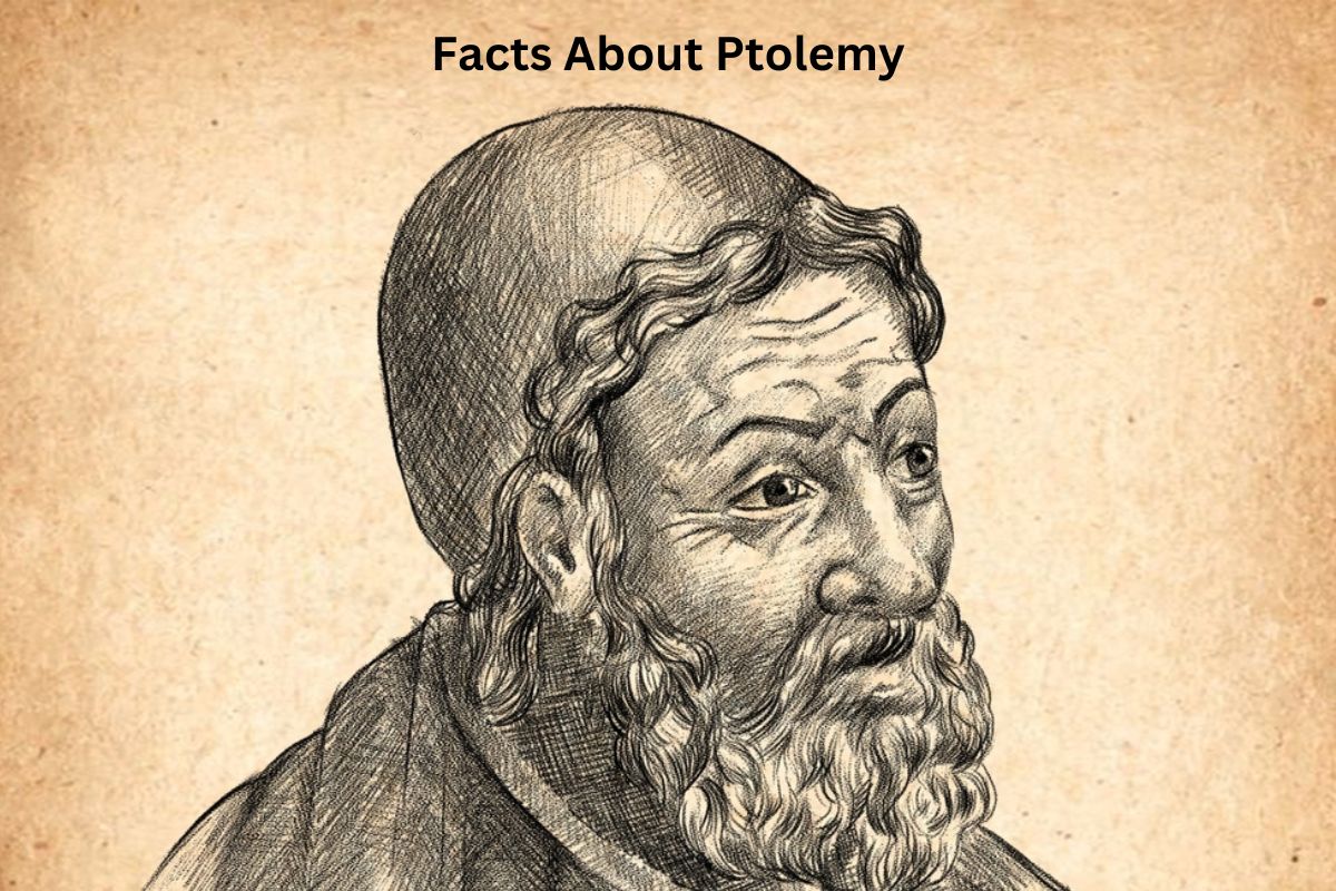
Ptolemy, whose full name was Claudius Ptolemaeus, was a prominent ancient Greek scholar who lived during the 2nd century AD. He made significant contributions to various fields, including astronomy, geography, and mathematics.
Ptolemy is best known for his groundbreaking work, the “Almagest,” which presented a comprehensive geocentric model of the universe and influenced scientific thought for centuries. His innovations in geography and mapping also laid the groundwork for cartography.
Ptolemy’s ideas had a profound and enduring impact on the history of science and continue to be recognized for their historical significance.
Ptolemy Facts
1. Full Name: Claudius Ptolemaeus
Claudius Ptolemaeus, commonly known as Ptolemy, is sometimes referred to by his Latinized name, Claudius Ptolemaeus. He lived during the 2nd century AD and was a prominent figure in the fields of astronomy, geography, and mathematics.

2. Lived in the 2nd century AD
Ptolemy’s life is generally estimated to have occurred between approximately 90 AD and 168 AD. He lived during a time when the Roman Empire was at its zenith, and he made his significant contributions to science and scholarship during this period.
3. Likely born in Alexandria
Ptolemy is believed to have been born in or around the city of Alexandria, which was a major cultural and intellectual center in the ancient world.
Also Read: Ptolemy Accomplishments
Alexandria, located in Egypt, was home to the famous Library of Alexandria, which housed an extensive collection of knowledge and attracted scholars from various disciplines.
4. Most famous for the “Almagest”
Ptolemy’s most renowned work is the “Almagest” (in Arabic, “Al-Majisṭī”). This comprehensive astronomical treatise is often considered one of the most influential books in the history of astronomy. It was written in Greek and consisted of 13 books.
The “Almagest” synthesized the astronomical knowledge of Ptolemy’s time and presented a detailed geocentric model of the universe.
5. Proposed the geocentric model of the universe
Ptolemy’s geocentric model was a fundamental aspect of the “Almagest.” In this model, he described the Earth as the stationary center of the universe, with the celestial bodies, including the planets and stars, moving in circular orbits around it.
To account for the observed irregularities in planetary motion, Ptolemy introduced the concept of epicycles, which were small circles that planets moved along while they orbited a larger circle (the deferent) around the Earth.

6. Author of the “Geography”
In addition to his contributions to astronomy, Ptolemy made significant advancements in the field of geography. His work “Geography” (in Greek, “Geographia”) was a pioneering treatise that addressed the mapping and description of the known world.
Ptolemy introduced a coordinate system of longitude and latitude, which allowed for accurate representation of locations on the Earth’s surface. His ideas on mapping and cartography had a profound and lasting impact on the development of geographic knowledge and mapmaking.
7. Introduced longitude and latitude for mapping
One of Ptolemy’s most significant contributions to the field of geography was the introduction of a systematic coordinate system based on longitude and latitude. This innovation revolutionized the way locations on the Earth’s surface were described and mapped.
- Longitude: Ptolemy recognized the importance of measuring east-west positions on the Earth’s surface. He proposed a system of lines running from the North Pole to the South Pole, with each line representing a different degree of longitude. These lines provided a means to precisely specify a location’s east-west position, with the Prime Meridian (0 degrees longitude) passing through the Canary Islands. Ptolemy’s system for measuring longitude was a fundamental step toward accurate global mapping.
- Latitude: Ptolemy also introduced a system of lines running parallel to the equator for measuring north-south positions. These lines represented degrees of latitude, and the equator itself was defined as 0 degrees latitude. The concept of latitude allowed for the precise description of a location’s position in relation to the equator, indicating whether it was north or south of the equator.
Together, Ptolemy’s longitude and latitude system provided a standardized and systematic way to represent geographic locations on maps. This innovation laid the foundation for modern cartography, enabling accurate navigation, exploration, and the creation of more sophisticated maps in the centuries that followed.

8. Contributed to the Ptolemaic System
Ptolemy’s astronomical and mathematical work laid the foundation for what is often referred to as the Ptolemaic System. This system, based on his geocentric model and use of epicycles, was widely accepted in the Western and Islamic worlds for over a thousand years.
It provided a framework for understanding and predicting the positions of celestial bodies, and it was considered highly accurate for its time.
9. Influenced Islamic science and medieval European astronomy.
Ptolemy’s works, including the “Almagest” and the “Geography,” had a profound impact on Islamic science and scholarship during the Middle Ages.
Arab scholars translated and studied Ptolemy’s writings, incorporating his ideas into their own astronomical and geographic research.
This transmission of knowledge from the Islamic world to medieval Europe played a crucial role in preserving and advancing Ptolemaic ideas, which continued to dominate astronomical thought.
10. Rediscovered and translated during the Renaissance
After the decline of the Roman Empire, Ptolemy’s works largely disappeared from Western Europe. However, during the Renaissance (starting in the 14th century), there was a renewed interest in classical learning.
Ptolemy’s writings were rediscovered and translated from Arabic into Latin, making them accessible to European scholars once again. This revival of interest in Ptolemy’s ideas had a profound impact on the scientific revolution that followed, as it provided a basis for further exploration and inquiry.
